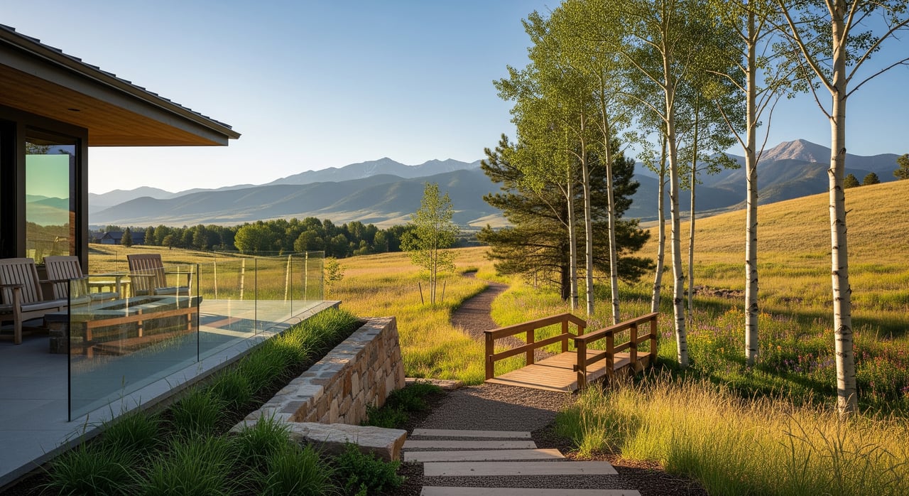
Imagine stepping outside and being on a creekside path or a foothills trail before your coffee cools. If you live in East Pleasant View, that can be your daily rhythm. You get small-neighborhood feel with quick access to Golden’s Clear Creek corridor, Jefferson County Open Space, and Lakewood’s regional parks. This guide shows you where to walk, ride, picnic, and take in the views, plus the key rules to know so every outing goes smoothly. Let’s dive in.
Why East Pleasant View works
East Pleasant View sits just east of Golden’s trail network with easy connections to creekside paths and foothills routes. You can choose paved, stroller-friendly walks or natural-surface climbs depending on the day. Several nearby agencies manage these parks, so you have a wide mix of options within a short drive. The variety makes it simple to match your route to your mood and schedule.
Trails you will use most
Clear Creek Trail through Golden
Enjoy a paved, creekside path that runs through downtown Golden. It is ideal for walking, jogging, casual bike rides, and stroller time. Find visitor info, parking notes, and water access on Golden’s page for the Clear Creek Trail and water features.
Peaks to Plains Trail vision
Golden anchors an ambitious regional route that will eventually link the Clear Creek headwaters to trails toward Denver. Learn about the latest segments and connections on the Peaks to Plains overview.
Apex Park
Apex offers shaded creek corridors and steeper climbs that are popular with hikers, riders, and equestrians. Some trails follow a designated-use calendar that separates bikes and hikers on different days. Check the Apex Park page for current rules and the calendar before you go.
North Table Mountain Park
This iconic mesa delivers wide-open views and a network of trails for hiking and mountain biking. You will find multiple trailheads, panoramic overlooks, and rolling terrain. Review trailheads and any alerts on the North Table Mountain Park page.
Matthews/Winters Park and the Hogback
This foothills access point connects you to the Hogback and Dinosaur Ridge’s interpretive area. It is great for shorter hikes with scenery and geology in easy reach. Plan your visit with Jeffco’s Matthews/Winters Park details.
Lookout Mountain and Buffalo Bill
For quick viewpoints and short paths, head up to Lookout Mountain. The museum grounds offer easy walks and classic Front Range vistas. See hours and amenities on the Buffalo Bill Museum and park page.
Big-day options nearby
Bear Creek Lake Park
When you want a full day outside, Bear Creek Lake Park has miles of trails, a swim beach, boating, fishing, picnic shelters, and camping. It is one of Lakewood’s flagship destinations for families and groups. Explore amenities and maps on the Bear Creek Lake Park page.
Red Rocks mention
Red Rocks Park and Amphitheatre offers photogenic trails and an unforgettable concert setting. It is not the closest trailhead to East Pleasant View, yet many locals count it among their go-to scenic walks and visitor must-sees.
Plan smart: rules, seasons, and safety
- Check the managing agency before you go. Nearby parks are run by Jefferson County Open Space, Golden, Lakewood, and regional partners. Each sets its own rules, hours, and closures. Jeffco park pages, like North Table Mountain, post alerts and seasonal updates.
- Know dog policies. Many local parks require leashes and have site-specific restrictions. The Pleasant View Metropolitan District points to county open-space rules; review their guidance on the district parks and reservations page.
- Respect designated-use days. Apex uses an odd/even calendar on certain trails to reduce conflicts. Confirm details on the Apex Park page and follow posted signs.
- Avoid muddy-season damage and closures. Lakewood maintains a trail-conditions dashboard for its system. Check conditions before you go on the Lakewood Trails page.
- Plan parking and timing. Peak weekends and event days fill lots quickly. Use the official park pages linked above for parking tips and trailhead addresses.
Quick picks by interest
- Best stroller-friendly walk: paved sections of the Clear Creek Trail
- Best mountain biking close by: Apex Park and North Table Mountain Park
- Best family day with water and amenities: Bear Creek Lake Park
- Best quick viewpoint: Lookout Mountain and Buffalo Bill area
Parks, trails, and home value
Proximity to well-maintained parks and greenways is commonly cited as a positive amenity by buyers and can support property desirability. The National Association of Realtors summarizes research showing trails and greenways often align with modest, measurable premiums that vary by location and park type. For a useful overview, see NAR’s summary on the effects of trails and greenways on property values.
A simple weekend route
- Start with an easy morning spin or walk on the Clear Creek Trail.
- Head to Matthews/Winters Park for a short scenic loop and Hogback views.
- Cap the day with sunset at Lookout Mountain, then dinner in Golden.
Whether you are moving to East Pleasant View or already call it home, the outdoors shapes daily life here. If you want a home that fits your trail routine, or you are planning to sell and want to highlight these amenities, we are here to help. Connect with the Downing Street Group for local guidance and a tailored plan.
FAQs
What are the most stroller-friendly trails near East Pleasant View?
- Paved sections of Golden’s Clear Creek Trail are smooth and accessible, with additional easy paths at Lookout Mountain and Bear Creek Lake Park.
Where can I mountain bike close to East Pleasant View?
- Two local favorites are Apex Park and North Table Mountain Park; check Apex’s designated-use calendar before riding.
How do I check for seasonal closures and muddy trails around East Pleasant View?
- Review alerts on Jeffco park pages like North Table Mountain and see Lakewood’s conditions on the Trails page before you go.
Are dogs allowed off-leash in parks near East Pleasant View?
- Most nearby parks require leashes and post site-specific rules; see the Pleasant View Metro District’s guidance on park policies and reservations and confirm rules on each park’s page.
What big regional trail is linking through Golden near East Pleasant View?
- The long-range Peaks to Plains route follows the Clear Creek corridor and is expanding in segments; learn more on Golden’s Peaks to Plains overview.
